|
Width: 400 Height: 400 Extent:
YMin: 2534933.4893016615 XMax: 2441443.186073876 YMax: 2537190.2365035075 Spatial Reference: 102171 (3111) Scale: 21323.552960802303 |
| ArcGIS REST Services Directory | Login |
| Home > services > FloodReports > PropertyFlood (MapServer) > export | Help | API Reference |
|
|
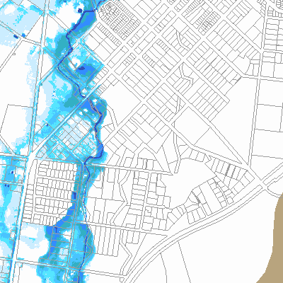
Width: 400 Height: 400 Extent:
YMin: 2534933.4893016615 XMax: 2441443.186073876 YMax: 2537190.2365035075 Spatial Reference: 102171 (3111) Scale: 21323.552960802303 |